- Access the trip log through the Saved tab and the Trips section.
- Integration of detailed routes with personal photographs using Google Photos.
- Ability to see the historical evolution of places using the date function in Street View.
- Full control over activating, editing, and deleting the Location Timeline.

Have you ever felt that nostalgic feeling of wanting to remember exactly where you walked on a vacation long ago, or simply want to know how many kilometers you covered on your last getaway? Well, it turns out that Google Maps isn't just for not getting lost on your way to work; it keeps a detailed record of your movements , which can be a real goldmine for those who love memories.
The truth is, many people overlook these features because they're somewhat hidden among the app's many menus and options. However, if you have the right settings enabled, you can turn your phone into a personal time machine that not only tells you where you've been, but also shows you how the streets of your neighborhood have changed over the years.

How to access your travel history and routes

To get a glimpse into your travels, the first thing you should know is that it all depends on Google Maps Timeline . If this feature is enabled, the system automatically records your movements. To find your trip summary, open the app and go to the Saved tab . Once there, look for the Visits section and select the Trips option.
In this section, you'll find a fairly comprehensive summary of your travels. Not only will you see a map with all the cities around the world you've visited, but you can also check how many days you spent in each place . If you scroll down a bit further, you'll see a detailed list with the names of the locations and the exact dates of each trip.
If you're curious about a specific trip, when you enter the destination you can see interesting facts, such as the number of kilometers traveled by plane, car, or on foot . In addition, Google displays a day-by-day itinerary, marking each exact location you visited on the map, creating a very visual timeline.

The magic of combining Maps with your photos

The coolest thing about this whole system is how seamlessly Google Maps integrates with Google Photos . If you have backup and location tagging enabled for your images, the app will automatically integrate your photos into your trip timeline. So, as you review your route, you'll see the photos you took at that time and place, making the memories much more vivid.
However, there are a couple of important things to keep in mind. First, all this information is private and, unfortunately, cannot be shared directly from the Maps app; it's only for your personal use. If you want to show off your routes to others, you'll have to check out the Google Travel website , where the management options are different.
Tricks for traveling to the past with Street View
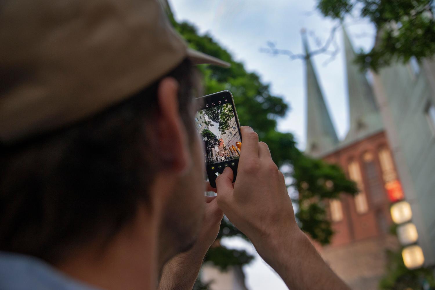
In addition to your own travels, Google Maps lets you do something amazing: see what a place looked like years ago. We're not talking about your routes, but rather the images that Google's Street View car has captured. To do this, search for any address and enter Street View . At the bottom of the screen, if older images are available, you'll see an option that says "See more dates . "
Clicking there will open a timeline that lets you navigate through the different years Google has driven over that street. It's an incredible tool for observing urban evolution or simply for seeing what the facade of the house where you lived as a child looked like. However, the number of available photos depends entirely on the location and how many times the Google car has driven over it.

Managing the privacy and security of your data

It's important to note that the timeline isn't enabled by default for privacy reasons; you have to enable it manually in your account. Also, if the system detects that you're under 18, this feature will most likely be unavailable. You have complete control: you can edit your routes or delete specific data at any time from the "My Activity" menu.
To avoid losing your entire history if your phone breaks or you decide to switch devices, it's highly recommended to activate encrypted backups or use tools like Google Takeout to export your data . This way, your data is saved on Google's servers and you can import it to a new phone without losing a single kilometer of your history.
Having a tool that automatically organizes our journeys, integrates our photos, and lets us see how cities have changed makes Google Maps much more than just a GPS. From managing timelines and trip summaries in the Saved section to the ability to go back in time using Street View, we have a powerful personal and urban historical archive at our fingertips, provided we manage privacy and backups correctly.